Using your smartphone to track running and walking is nothing new, now apps can help you do so much more. Check out the best ones of 2021!
Trails, tracking and safety in the best apps for hiking and trail running
Do you love trekking, running and walking? If you still haven't chosen your favorite app to track your excursions, discover new routes and move safely even on the most inaccessible paths, stop here. We have selected for you the best apps for hiking, trail running and outdoor walking disciplines, the ones you absolutely have to try to get the most out of your smartphone when you are traveling or training. Let's discover together the features of the most popular and updated outdoor apps of the moment!
Relive
App for those who like to share their activities on social networks with photos and especially videos, in the Plus version at 6.99 euros / month you get the ability to make advanced edits and produce HD movies, as well as the service of exploring 3D maps, but without navigation.
An app strongly focused on the social aspect, Relive focuses everything on tracking activities aimed at sharing, providing the possibility to choose between different types of means and disciplines, or to set up integration with other trackers. By recording the activity it is possible to add photos and videos, which become HD in the Premium version. Trekking and exploratory disciplines are popular, precisely because they allow you to take photos and document the activity without interruption. The users come from different countries, so in order to have connections with friends in Italy or nearby, it is allowed to send personal invitations. Unfortunately, the activity statistics are not very detailed and navigation and security features are missing.
More info: www.relive.cc
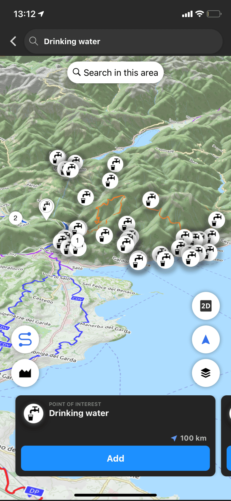
AllTrails
App dedicated to the discovery of trails and itineraries with the possibility to select different types of vehicles and indicate them among the search filters. In the pro version at 29.9 euros / year the services of real-time tracking, offline navigation and map overlay.
The AllTrails app is connected to the famous portal dedicated to itineraries to be traveled by bike, on foot or on horseback, addressing itself primarily to those who travel and look for new paths to explore. Among the search filters, it is possible to indicate your preferred means of transport and choose the level of difficulty of the route, the length, type and altitude, as well as other interesting details such as community rating, the presence of selected points of interest and the accessibility of the route to children, animals or wheelchairs. In its Pro version, the app offers the ability to browse maps offline, enable live tracking for safety (called Lifeline in this case) and voice notifications to assist with navigation.
More info: www.alltrails.com
Komoot
It offers features purely focused on exploration and travel, declined in the different disciplines supported such as climbing, trekking, bikepacking and mountain biking.
Free the first region. 59 euros / year for unlimited navigation and regions.
From Germany, the Komoot app offers features purely focused on exploration and travel, declined in the different disciplines supported such as climbing, trekking, bikepacking and mountain biking. What is striking about this app is the large amount of information and travel tips, useful for those who love to discover new adventures in any part of the world or "around the corner", as the claim says.
Also useful is the ability to indicate your training level to select the type of route based on difficulty. The basic features of the app are free, while for a fee you can purchase map packs or subscribe to the Premium subscription that includes navigation, live tracking, multi-day route planner and other services.
More info: www.komoot.de
Runtastic
The Adidas app dedicated to runners, free for tracking outings and workouts and for monitoring and sharing your sports performance. Lacks dedicated exploration features and doesn't offer navigable maps.
The Adidas running app is famous all over the world and is often the first choice of those who decide to take up this sport, even as an amateur. What Runtastic offers in terms of tracking and sharing tools is certainly a convenient solution even for occasional use. Among the features offered is the ability to create training plans and keep track of your athletic performance. However, for a frequent use and more oriented to exploration and specificity of disciplines that take place mainly on inaccessible trails, we feel the lack of some dedicated features such as route planning and navigation.
More information: www.runtastic.com
WHIP LIVE
for hiking and trail running
App dedicated to outdoor activities, with features dedicated to trekking and trail running. You will be able to plan, navigate and find new routes and always stay safe with Live Tracking. Free tracking, Live Tracking and segments. 53.99 euros/year for offline navigation and maps.
With WHIP LIVE you can plan routes and navigate them , tracking your activity to share with friends and followers. WHIP LIVE's Live Tracking is also complemented by advanced safety features, such as a convenient orientation function, the activation of emergency contacts and the SOS button .
The app is distinguished by its ease of use that masks technical performance, comparable to that of the most sophisticated professional GPS devices, as well as a wide variety of user-generated routes including segments, dirt roads and points of interest.
Try it now www.whip.live/download
COMMUNITY
Connettiti con altri appassionati
Segui le uscite più interessanti caricate dagli altri utenti e sfida i tuoi amici su un percorso o segmento. Per ogni segmento o percorso vedrai classifiche divise per disciplina e misurate al decimo di secondo.