The route planner in WHIP LIVE allows you to create the most fun route for you, your vehicle and your experience, even where there are no roads.
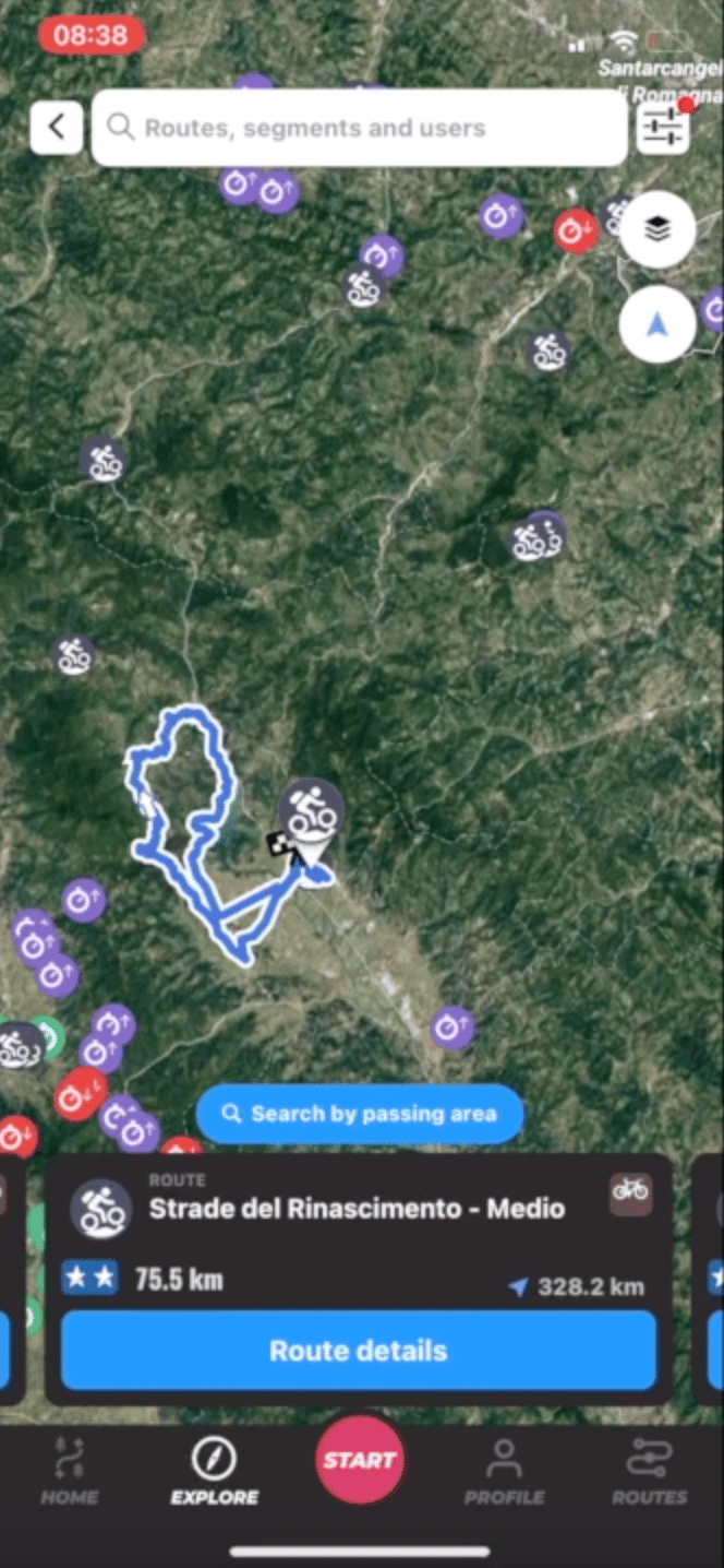
Activity Analysis
Relive your outings with data and zone highlights
For any discipline
Choose the type and the points from which to pass, WHIP will automatically find the most suitable routes.
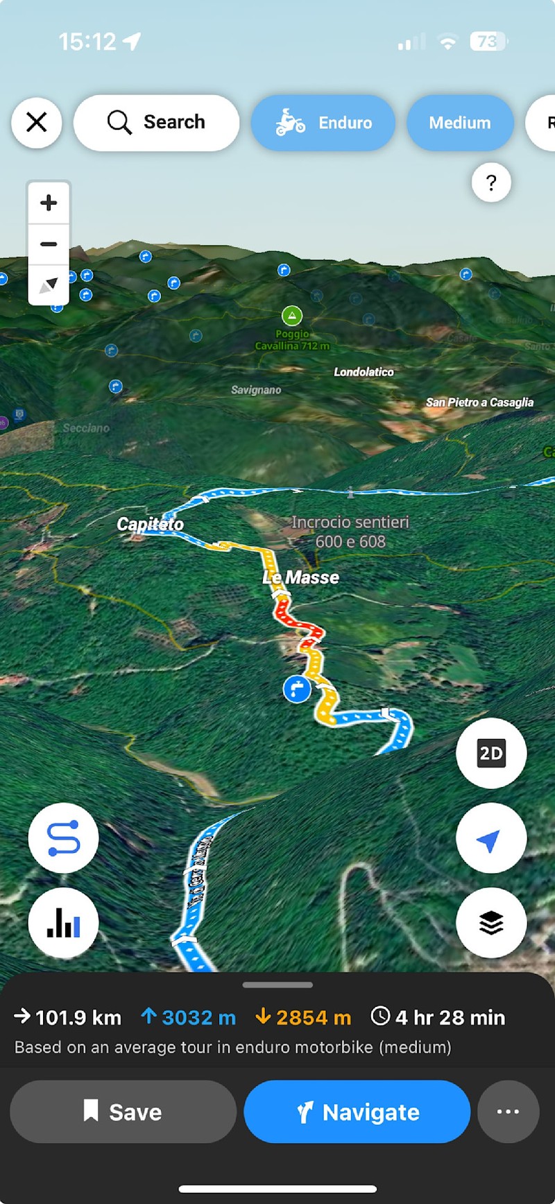
3D View
To best consult all the routes
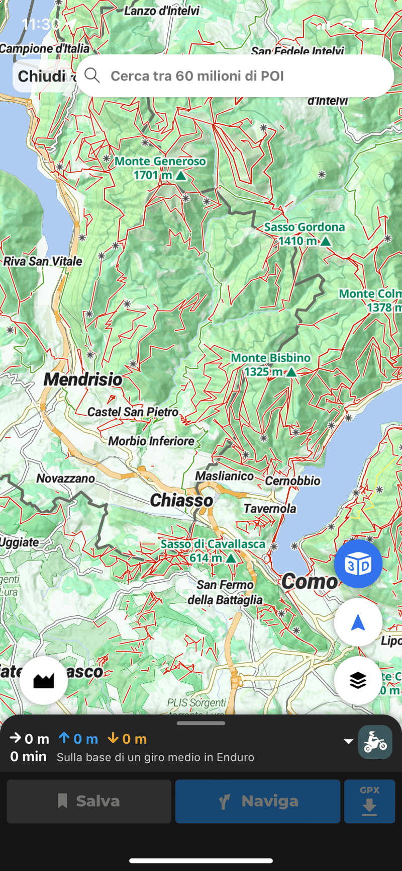
40+ FILTERS
the perfect route
Include scenic roads, avoid highways, or give top priorities to bridleways. With over 40 dedicated filters, ask the planner what you are looking for, he will find the perfect route for you and your vehicle.
SOFT AND HARD
Do all roads lead to Rome?
Do you want to tackle a simple dirt road or a difficult mule track? Before you start creating your route, choose the type of activity and difficulty level, the planner will take you to your destination by choosing the most suitable route.
REPORT
Real-time report
Everyone is required to do their part! Thousands of reports on dangers, closed roads and speed limits have been created by the community to help you avoid unexpected events and unpleasant surprises. Report during your laps too.
ASPHALT
Fun routes even on the road
Road cyclist or motorcyclist? Thanks to the filters on curvosity, panoramic view and choice of differences in height, the planner allows you to create the most varied, panoramic and fun route with alerts on speed controls too!
SYNCHRONIZATION
Your routes always with you
Each planned route, even in draft, is synchronized between all your devices where you have WHIP, to be able to navigate it even in the absence of a network. However, you can export it in Gpx format at any time.
Discover the route planner
With the route planner you can create a completely customized route according to your needs. Maps with highlighted off-road routes will help you choose the best one for you. Analyze the surface, the altimetric profile, the slope and the differences of your path. Oriented with over 60 million points of interest and use 3D maps as you plan for unmatched accuracy.
Follow Our Adventures
Frequently Asked Questions
WHIP LIVE is your digital co-pilot for adventure. It allows you to plan routes optimized for your bike type (Enduro, ADV, Street) or bicycle, navigate turn-by-turn even offline, track your activities with detailed statistics, and share your real-time location for maximum safety.
With the Route Planner, you can create a fully customized route based on your needs. You can choose the type of activity and filter by elevation, gradient, and surface, ensuring you always take the best path for you.
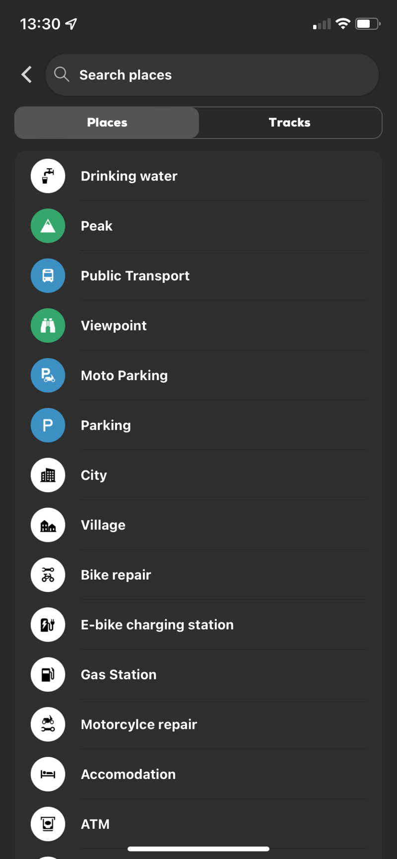
You can add waypoints directly on the map and choose whether to include points of interest, activities, and segments in your route. Points of Interest (POIs) are valuable locations, utilities, and services that you can add to your journey as waypoints.WATCH THE TUTORIAL
With WHIP LIVE you have a tool for safety to rely on to prevent danger or solve an emergency. Before tracking, you can enable LIVE TRACKING to be monitored during your activity by one or more contacts you have selected.
While tracking you can use the Support and Safety button, the shortcut to respond immediately to your needs when you are in trouble. You can send an emergency call, find hospitals, pharmacies and repair stores in the area.
Yes! The free version allows you to track activities, and discover new routes made by other users. The first map to start navigating and planning is completely free.
You can cancel your Plus subscription at any time.
Apple App Store: Your WHIP LIVE subscription is managed through your Apple App Store settings. Use this link to deactivate your subscription: https://support.apple.com/en-us/118428
Google Play Store: Your WHIP LIVE subscription is managed through the Google Play Store settings. Follow the steps at this link to proceed with the cancellation: https://support.google.com/store/answer/11264766?hl=en&sjid=18313732337573027533-EU
Stripe: On the Web, go to gdm.whip.live -> settings -> manage subscription to complete the cancellation.